

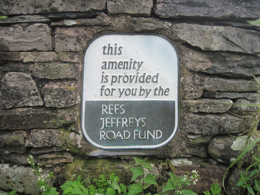
4. Lune Gorge
South of Tebay, Cumbria (No. 4) created in 1973. A685/M6. (Photo credit Carol Kubicki)

10. Abbotsbury Hill
Dorset (No.10) created in 1960. On the B3157 at ///Apart.laugh.soccer. (Photo credit Trustee David Tarrant.)

12. High and Over
Seaford East Sussex (No.12) created in 1960. On Alfriston Road ///shades.settle.functions. Grid Ref: TQ507009 (Photo credit Nick Reed)

15. Barrow Wake
Gloucestershire (No 15) created in 1986, on the B4070. ///pillow.colonies.rolled. Grid Ref: SO 9318 1547 (Photo credit David Jenkins.)

18. Llyn Peninsula
Near Cae’r Dyni Criccieth, Gwynedd (No 18) , on the A497. ///utter.referral.speakers. Grid Ref: SH512384 (Photo credit N Lees.)

22. Stanmore Common, Harrow
Warren Lane, Stanmore Common, Harrow. Created in 1971 (No. 22). Off the A4140. (Photo Credit IanVisits www.ianvisits.co.uk .)

26. Leeson Road, Ventnor
Isle of Wight (No. 26) created in 1970. On the A3055. PO38 1QD. Grid Ref SZ 580 789. (Courtesy of Ken Fry)
19. Rhaeadr y Cwm
Ffestiniog, Gwynedd. (No 19). 1960. On B4391. ///buck.limo.wonderful. Grid Ref SH 7358 4171 (Photo C Kubicki). Another plaque marks the view of the waterfall ///livid.spider.scorecard.

23. Ashey Seamark
Brading Down Road, Isle of Wight. Created in 1979 (No. 23). Grid Ref SZ 575 874. (Courtesy of Ken Fry.)

27. Nansen Hill
Bonchurch, Isle of Wight (No. 27), created in 1960. On the A3055. PO38 1PT. Grid Ref SZ 576 783 (Courtesy of Ken Fry). Please note this area is currently affected by a landslip. Please follow local signs.

20. Old Winchester Hill
Hampshire (No.20) created in 1958. Off the A32 Hayden Lane. (Courtesy of N Silcox.)

24. Whitcombe Road, Carisbrooke
Isle of Wight. Created in 1967 (No 24.) PO30 1YS. Grid Ref SZ 489 876. (Courtesy of Ken Fry)
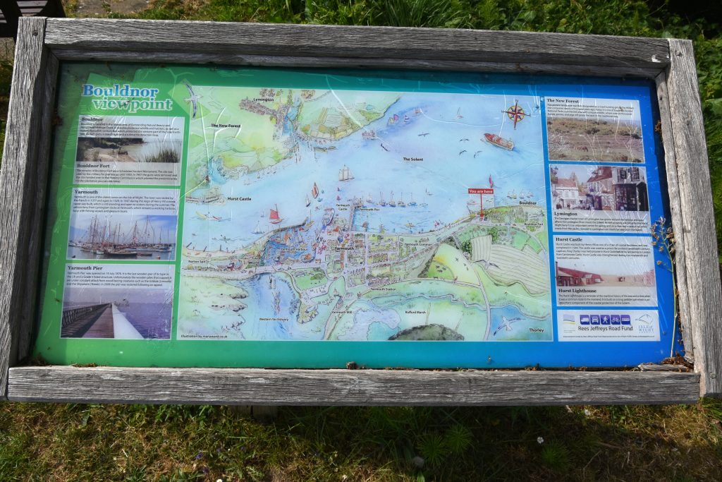
28. Bouldnor Viewpoint
Yarmouth, Isle of Wight (No.28). PO41 0NH. Grid Ref SZ 367 899. (Courtesy of Ken Fry).

21. White Hill
Between Overton and Kingsclere, Hampshire (No. 21) created in 1967. Off the B3051 (Photo credit Trustee David Tarrant.)

25. Gore Quarry, Blackgang
Isle of Wight (No. 25) created in 1960. Off the A3055 PO38 2JB. Grid Ref SZ 491 767. (Courtesy of Ken Fry).

29. Ide Hill
Kent (No. 29) created in 1960. On the B2042. Photo credit Trustee Andy Graham.

31. Wrotham Hill
Tonbridge, Kent (No. 31) created in 1983. Currently closed. Photo credit Trustee Andy Graham. This roadside rest is currently closed.

32. Carn-y-Gorfydd
Brecon Beacons National Park, off the B4246 created in 1964 (No. 32). Grid Ref SO 2703 1093. ///series.static.lengthen. (Courtesy of David Jenkins).

33. Cefn-y-Coed
Brecon Beacons National Park, off B4269 created in 1964 (No. 33). Grid Ref SO 2846 1092. ///crown.deduced.eclipses. (Courtesy of David Jenkins.)

35. Porth-y-Parc
Llwyn-du, Abergavenny. Created in 1964 off the A40 (No 35). NP7 7DN. Grid Ref SO 2888 1664. ///pitch.tailwind.book. (Courtesy of David Jenkins.)

36. Mynydd Llanwenarth
Sugar Loaf Mountain, off the A40. Created in 1967 (No.36). NP7 7EN. ///sample.beak.bake. Grid Ref. SO 2686 1672. (Courtesy of David Jenkins.)

37. Star Carr
Star Carr. (No 37) created 1998. On the A64. ///boggles.cashiers.bowls. Photo Credit: Peter Stoker.

38. Sutton Bank
North Yorkshire. (No 38) funded in both 1958 and 1999. On the A170 at the North Yorkshire National Park Sutton Bank Centre. Photo Credit: George Brown.

39. Rothbury
Rothbury (No.39) created in 1973. Off the B6341 Rothbury High St. Beggars Rise Picnic area. ///flanks.name.creatures. . Photo credit Peter Stoker.

41. Crugiau Cemmaes
Pembrokeshire (No.41) created in 1968. Off the B4582. ///flaked.geek.bystander. SN 1256 4148. Photo credit David Jenkins.

42. Fishguard Fort
Pembrokeshire (No.42) created in 1958. Off the A487. ///obviously.rash.building. SM 9624 3759. Photo credit David Jenkins.

43. Kilpaison Burrows
Freshwater West, Pembrokeshire (No.43) created in 1969. Off the B4319. ///tanked.amplifier.cabbage. SM 8843 0045. Photo credit David Jenkins.

44. Rhy-elli-Dynas
Pembrokeshire (No.44) created in 1970. Off the A487. ///nips.weep.directors. SN 0104 3826. Photo credit David Jenkins.

45. St David’s Road, Haverfordwest
Pembrokeshire (No.45) created in 1964. Off the A487. ///pints.copy.brands.SM 9425 1611. Photo credit David Jenkins.

46. Woodhill, Newgale
Pembrokeshire (No. 46) created in 1967. Off the A487. ///shame.above.urge. SM 8529 2184. Photo credit David Jenkins.

47. Pont Marteg
Powys (No. 47) created in 1994. Off the A470 at Gilfach Nature Reserve. ///potatoes.rentals.duplicate. SN 9531 7150 Photo credit David Jenkins.

48. Lydeard Hill
Somerset (No. 48) created in 1966. Off the A358.(Credit Trustee Ginny Clarke)

50. Reigate Hill
Surrey (No. 50) created in1958. A217. Photo credit Trustee Andy Graham.
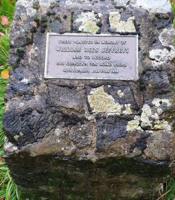
51. Ardingly Showground
West Sussex (No. 51) created in 1988. Off the B2028 Selsfield Road, opposite the Showground entrance. Photo credit Trustee Steve Gooding.

52. Duncton Hill
West Sussex (No. 52) created in 1968. Off the A285. Photo credit Trustee Andy Graham.

53. Houghton Hill
West Sussex (No. 53) created in 1991. Off the B2139 ///attitudes.bachelor.tolerates. Photo credit: Trustee Steve Gooding. This roadside rest is currently closed.

54. Fovant Badges
Wiltshire (No. 54) created in 1988. On the A30. ///pushes.linguists.whizzed (Credit Trustee David Tarrant).

55. Winter Hill
Maidenhead (No. 55) created in 1979. (Credit Trustee Ginny Clarke)

59. Red Point
Gairloch. (No. 59)created in 1968. Photo credit Richard Sutcliffe, photograph taken July 1975.

65. Queen's View
The Whangie, Stirling (No. 65) created in 1964. On the A809. Photo credit Richard Sutcliffe.

66. Newton, W Lothian
Newton (No. 66) Forth Bridges Upper View Point on A904 (1997). ///share.navigate.save. Image credit: RJRF accounts1998. Design included a memorial cairn to Trustee Maurice Milne.
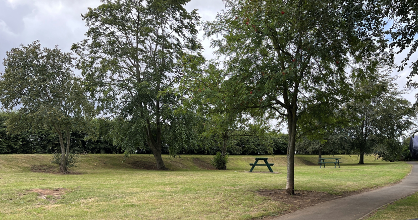
68. Haggerstone Castle
Haggerstone Castle (No. 68) created 2001. Access from Tower Lawn, A1. ///wanting.examine.drizzly. Photo credit Peter Stoker.
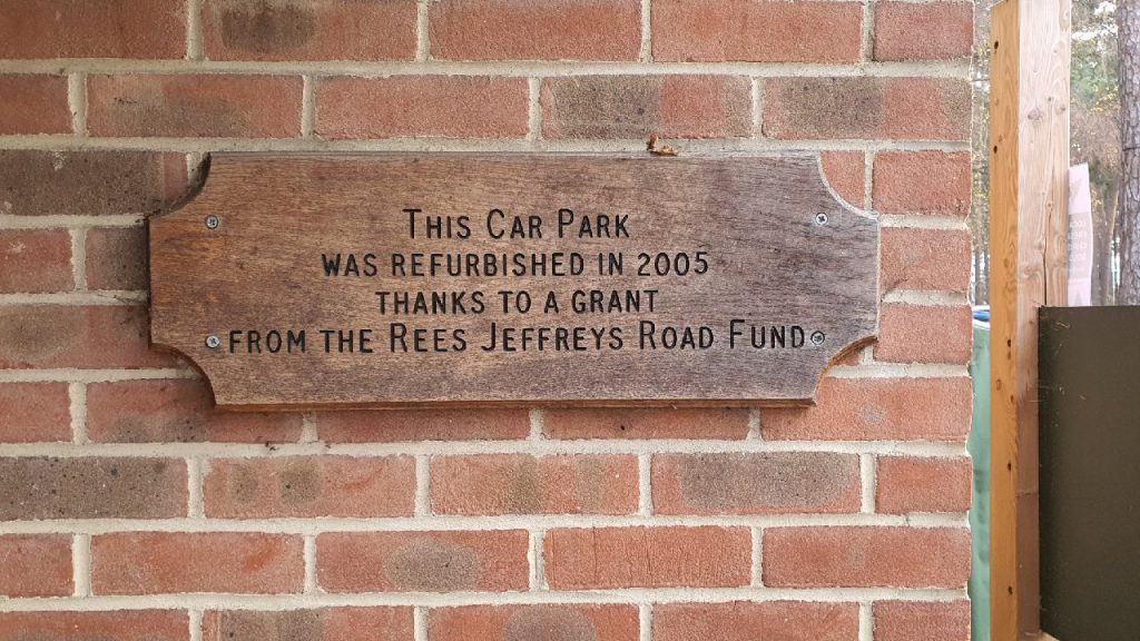
73. Bolder Mere, Ockham
Ockham (No. 73) created 2005. Access from Old Lane, A3 southbound turn off at Wisley. ///active.nail.rested. Cafe/toilets. Photo credit Trustee Andy Graham.

76. Gilfach Farm
Powys (No. 76) creation date unknown. Off the A470. SN 9649 7167///composes.prancing.resettle. Image credit Randorshire Wildlife Trust

78. Nawton
(No. 78) Nawton on the A170. Created 2007. ///swimmer.eased.pronouns. Photo Credit: Peter Stoker.

80. Llwyn-onn Reservoir
Brecon Beacons National Park. (No. 80) created in 2019. A470. Grid Ref SO 0099 1184. ///activity.micro.motivations. (Courtesy of David Jenkins.)

81. Halnaker Windmill
And Tunnel of Trees A285, West Sussex (No. 81) created in 2020. (Courtesy of Trustee Andy Graham.)

83. Amberley Village
(No. 83) on the B2139 South Downs AONB. ///fidelity.maximum.smarting. Grid Ref TQ 0321 1296. Photo Credit: Amberley Parish Council.

84. Singleton Village
(No. 84) on The Leys, Singleton in the South Downs AONB. . 6. Photo Credit: Singleton Parish Council.